Survey & Mapping
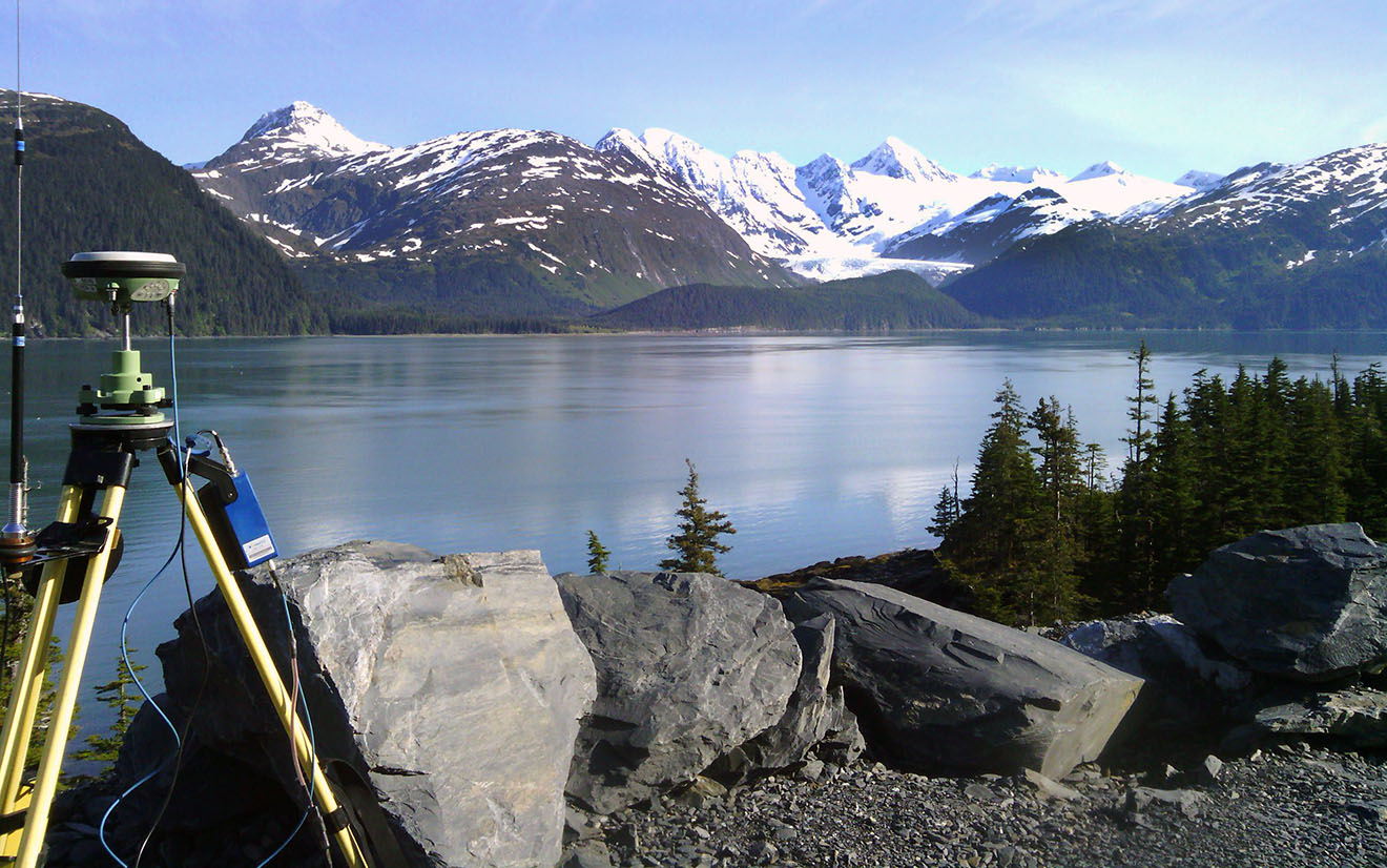
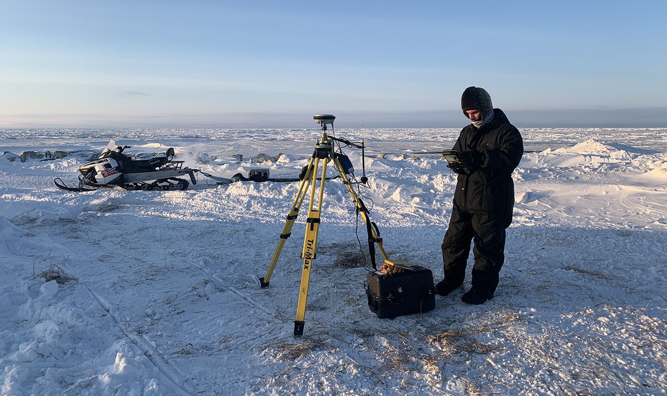
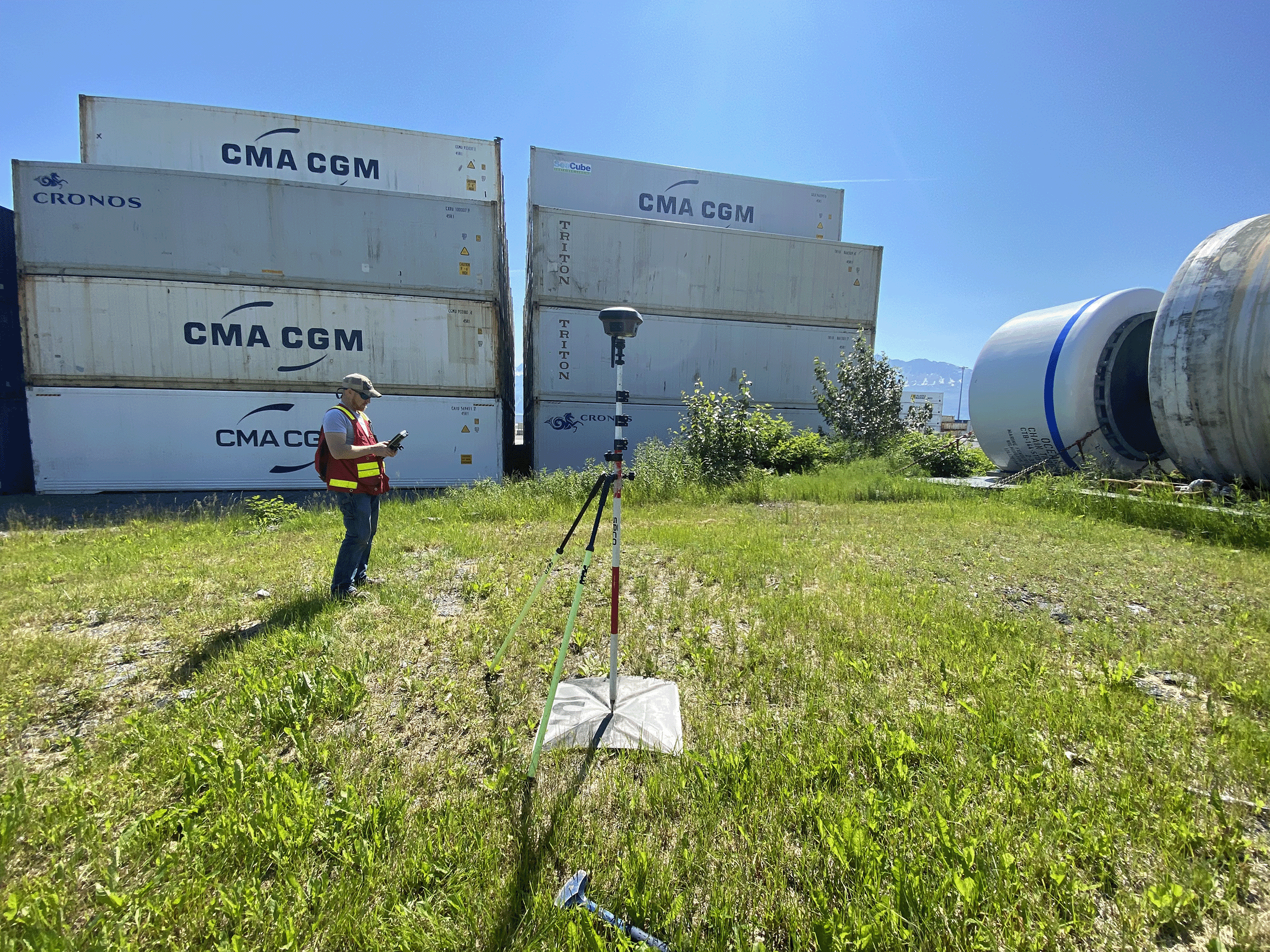
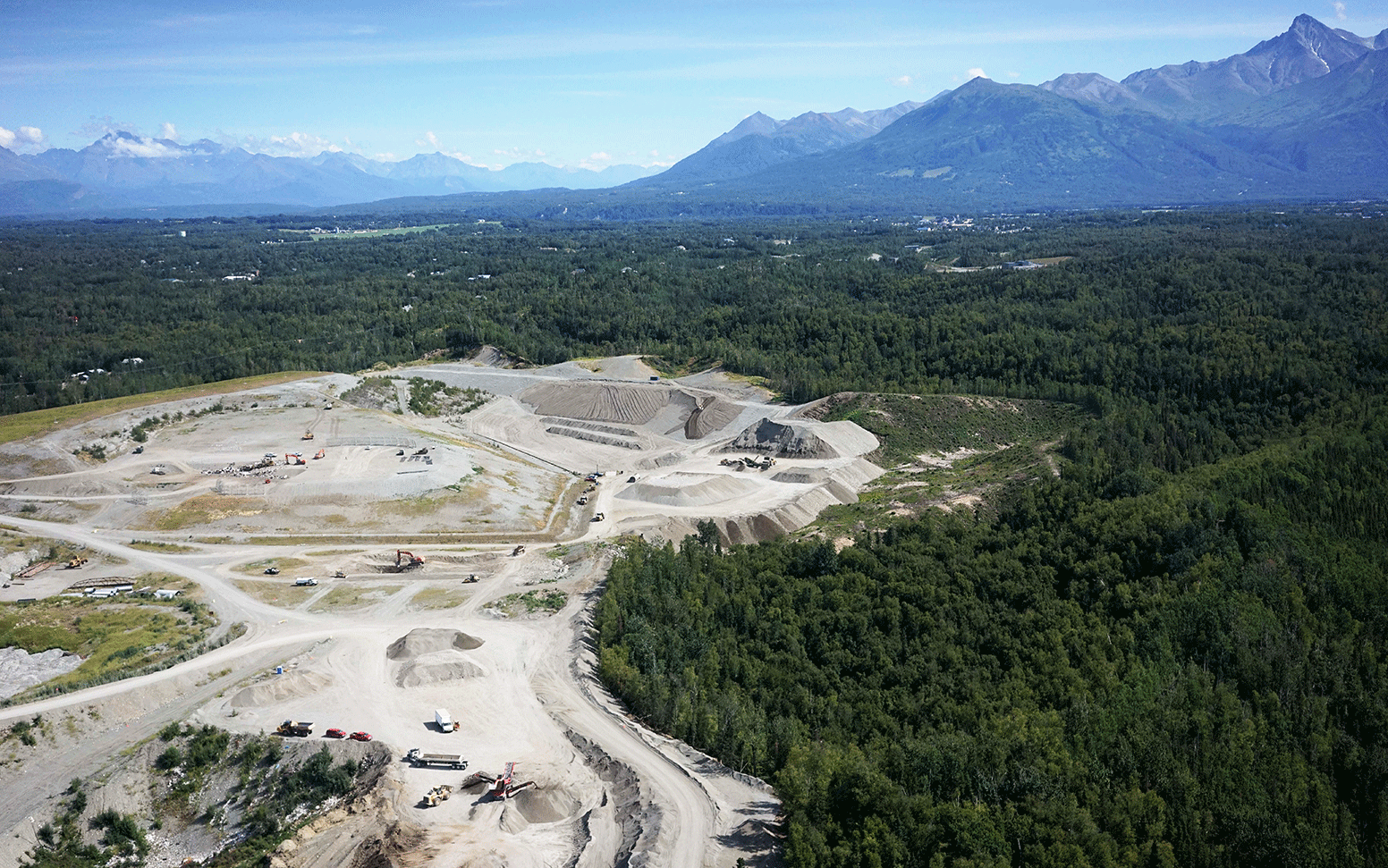
CRW’s survey team has extensive experience in overcoming the challenges of surveying in Alaska’s sometimes remote and harsh climate. We built a reputation for providing quality surveying and mapping services throughout the state. Our dedicated, skilled surveyors are equipped with the best tools in the industry, including high quality Leica GPS, robotic instruments, laser scanner, and unmanned aerial vehicles (UAV’s). These tools enable us to perform accurate and efficient surveys along with providing high quality products for your projects.
Our survey team is integrated with our planning and engineering staff to provide the best possible product to our clients. Our services are tailored to each customer’s specific requirements and standards. Our surveyors have an incredibly diverse industry background and are able to utilize that background to meet any of your surveying and mapping needs.
Key Services
- ALTA/NSPS Land Title Surveys
- Engineering Design Surveys
- Subdivision Design and Platting
- GPS Control Surveys
- Boundary & Lot Surveys
- Topographic Survey & Mapping
- Right-of-way Survey & Mapping
- Commercial As-builts & Plot Plans
- Construction Surveying
- Hydrographic Surveys
- UAV Aerial Survey & Mapping
- Low level Aerial Photography
- Building & Site 3D Modeling
- Laser Scanning